Detect
Analyse photos or videos for objects of interest using models suited to your mission.
Vanguard Drone detects objects of interest locally in drone photos and videos. After the flight, review observations directly on your computer.
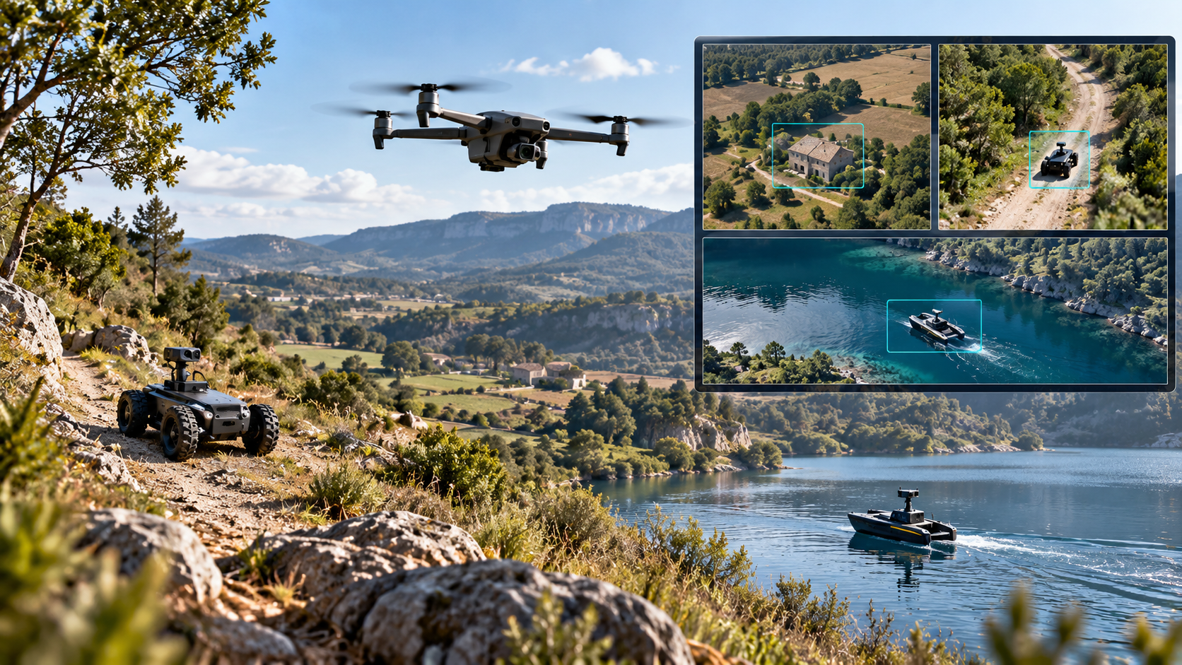
A mission can produce a large volume of imagery. Vanguard Drone helps remote pilots and professionals use it with models selected for the objects sought.
Analyse photos or videos for objects of interest using models suited to your mission.
View detections on a map when capture data permits an estimated position.
Export observations as GeoJSON for integration with your geographic information tools.
An approach built around your mission and real-world operating conditions.
Load images or videos captured by your drone onto your computer.
Select an ARTEKA model or a model suited to your needs and start the analysis.
Review results and their estimated location when the necessary metadata is available.
Transfer useful observations to your operational tools, including as GeoJSON.
The solution adapts to the objectives and constraints of each project.
Speed up review of images collected during your missions.
Look for items of interest in images of structures, sites or territories.
Use observations in mapping tools and analysis.
Locations are estimates that depend on available capture data. Professionals must verify detections and their positions.
Locally deployed analysis runs without relying on the cloud or a data centre. Data remains on the equipment designated for your project.
Our models are designed for the resources available in the field. ARTEKA Shield helps protect models through encryption during deployment.
Discover our approach ↗Vanguard Navia is a separate project dedicated to vision-based flight assistance and object selection during video analysis.
Discover Vanguard Navia ↗Our team is ready to discuss your environment and arrange a demonstration.
Contact ARTEKA ↗